Meuh Verick Design view
The drone that weighs the herd from the sky.
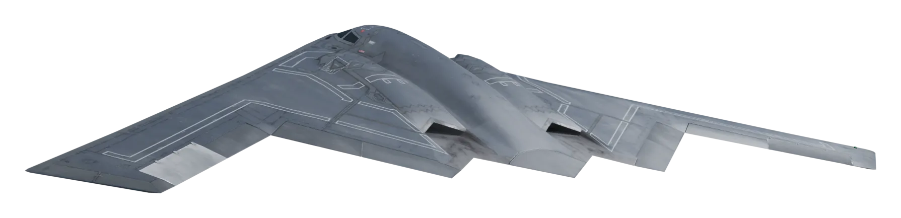
A 3.20 m flying wing, a LiDAR pointed at the ground and on-board computing: the weight of every animal in the lot in a single pass, without bringing in a single head.
Programme in design phase. No test flight to date.
- No handling
- The animals stay in the field. The survey is flown above the lot.
- The lot in one pass
- The same measurement as photo weighing, scaled up to the whole herd.
- On-board computing
- Processing happens during the flight. The mission needs no link to the ground.
Where the programme stands
- Airframe
- V2 flying wing under study, 3.20 m wingspan.
- Sensors
- LiDAR pointing at the ground, colour camera.
- Computing
- On-board computer, processing during the flight.
- Navigation
- Autopilot with centimetre-level satellite positioning.
- Testing
- No test flight to date. No performance figure is announced before testing.
KiloSnap, the same measurement in your pocket
What the drone will do above the lot, the app already does animal by animal: camera weighing, herd records, calvings and documents, offline at the far end of the field.
See KiloSnapLet's talk about the project
Investors, farmers, technical partners: write to us, we answer within two working days.
contact@osef.industries
How it works
Survey
The LiDAR scans the ground straight down while flying over the lot.
Colouring
The on-board camera dresses the point cloud: coat and markings of each animal stay readable.
On-board processing
The on-board computer estimates the weight of each animal during the flight, using the measurement chain of the KiloSnap app.